Menu
Close
- Explore
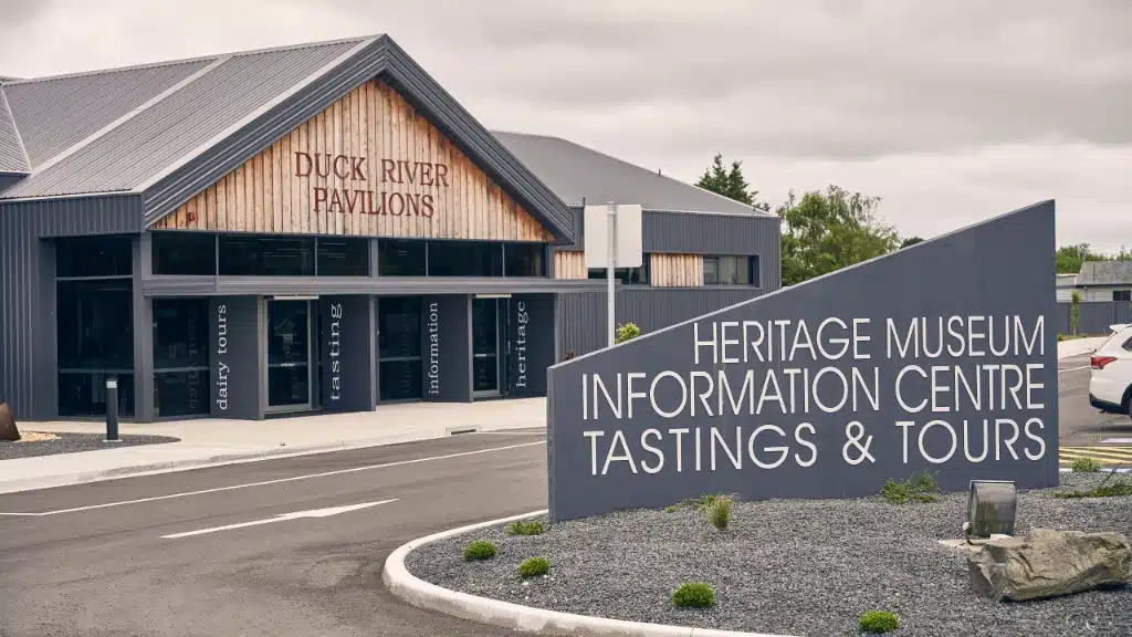
Smithton
- +61 3 6413 5333
- info@stanleyandtarkine.com.au
- 12 Nelson St, Smithton TAS 7330
- +61 3 6413 5333
- info@stanleyandtarkine.com.au
- 12 Nelson St, Smithton TAS 7330
Smithton
- +61 3 6413 5333
- info@stanleyandtarkine.com.au
- 12 Nelson St, Smithton TAS 7330
- +61 3 6413 5333
- info@stanleyandtarkine.com.au
- 12 Nelson St, Smithton TAS 7330
- Plan
- Stay


