Travel Info & Maps, And Visitor Guides
Travel information
Explore a National Park that’s worth a closer inspection, meander through spectacular gardens, learn about timber heritage and discover forests with magnificent waterfalls.
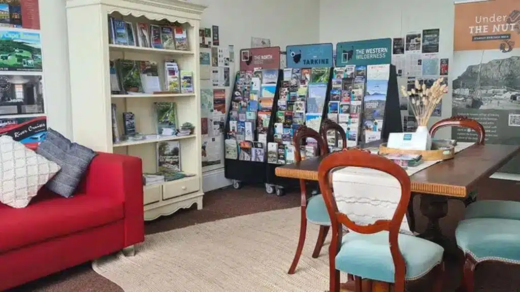
Whether you are looking to get away for a few days or a few weeks. If you are travelling in your own vehicle or a hire vehicle. If you are wanting to immerse yourself in nature, participate in a tour, buy local produce or find the ultimate accommodation, call, email or visit the friendly staff at Duck River Pavillions we will and advise you on where to go and what to see.
Our Visitor Centre Guides are great resources for the regions surrounding and inclusive of Circular Head.
Location
It’s worth remembering that although Tasmania is small, its landscape is diverse and its 500‚000 strong population decentralised. Tasmania is 315 kilometres (189 miles) west to east and 286 kilometres (175 miles) north to south. It is comparable in size with the Republic of Ireland, West Virginia (USA) and Hokkaido (Japan). It covers an area of 68,331 square kilometres (26,376 square miles). Let your journey begin!
Maps
We have comprehensive maps of towns within Circular Head and one of the whole region below for you to download. Visitor Guides are available to download too.
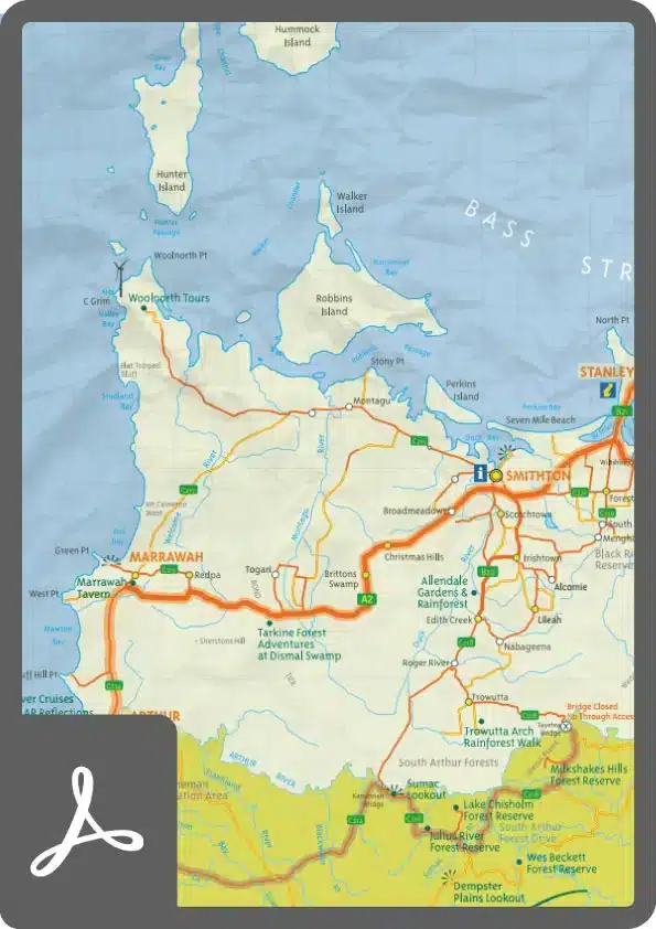
North West Regional Map
We invite you to explore our backyard
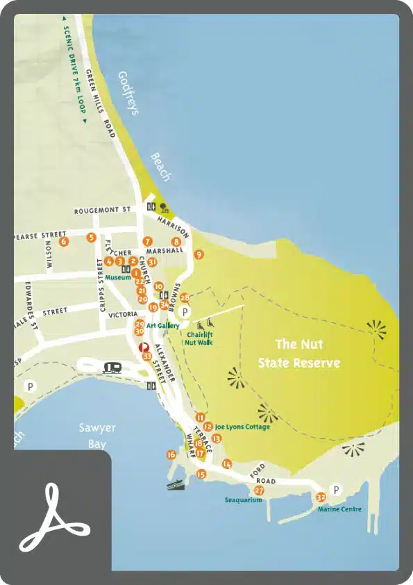
Stanley Map
Things to see and do in Stanley
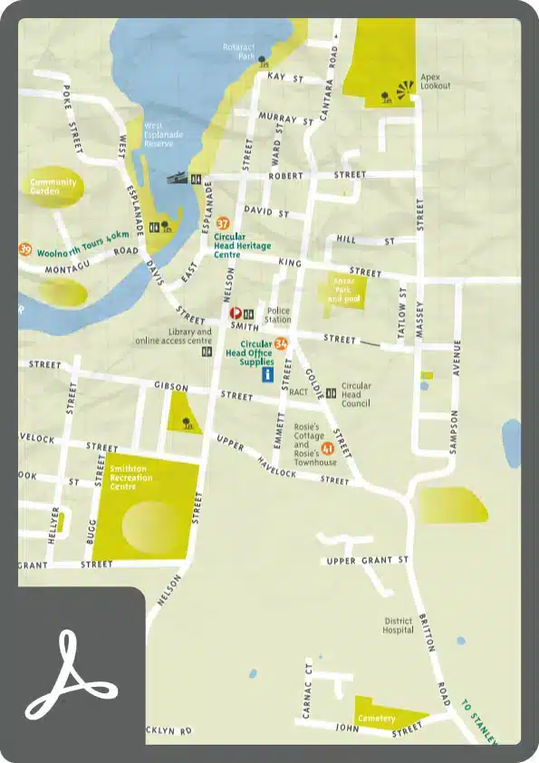
Smithton Town Map
The commercial centre of Circular Head
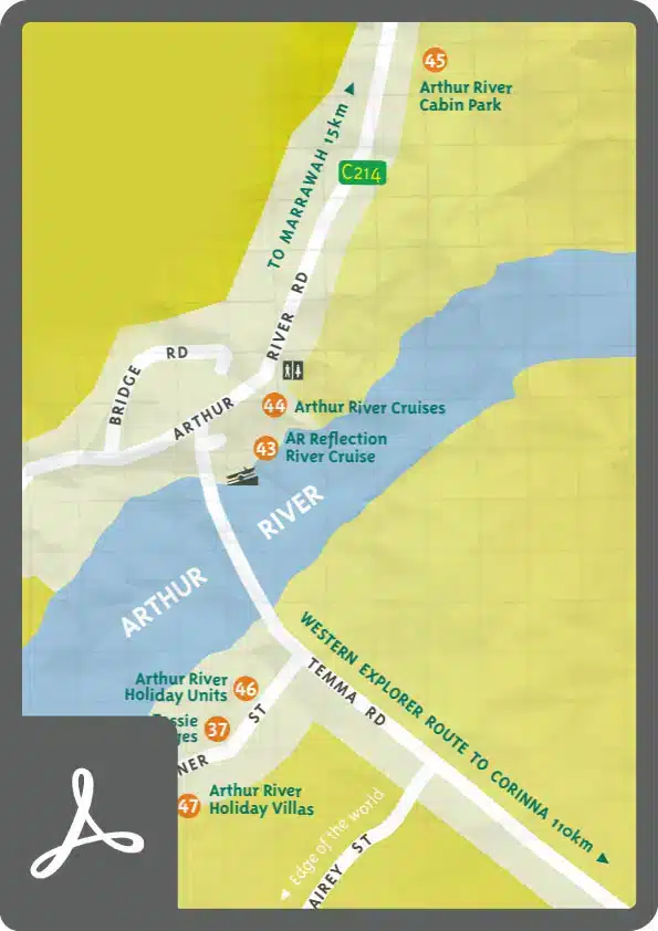
Arthur River and Marrawah Area Map
Western townships
Visitor Guides
The Circular Head Tourism Association has produced some high quality Visitor Guides for this Region. Please take the time to look at them below. Regional Maps are available here.
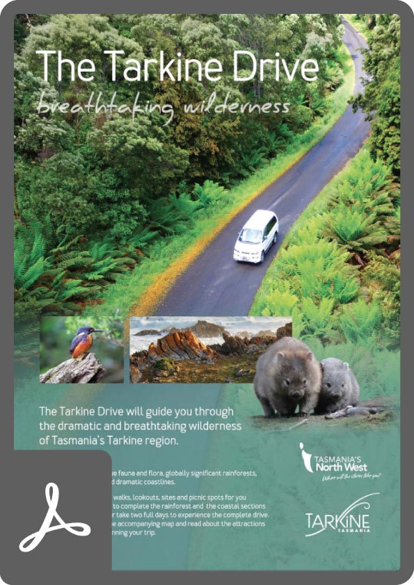
Tarkine Drive Guide
Start exploring this extraordinarily diverse region with this handy guide, containing information on trip planning, activities, walks and fast facts.
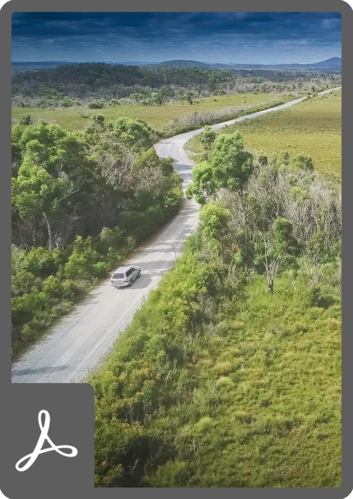
Western Explorer Road
The Western Explorer route links Stanley in the North West to Strahan on the West Coast Via Corinna, and takes you through some of the States most beautiful and isolated areas. For more information, click on the Western Explorer Road Link.
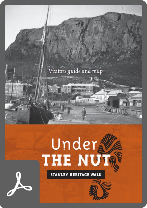
Stanley Heritage Walk Visitors Guide and Map
The Stanley Heritage Walk is self-guided and explores the history, architecture and culture of this diverse village, enhanced with QR code technology and any internet enabled device.


