Towns and destinations
Located in far North-West Tasmania, Circular Head municipality – The Edge of the World – covers an area of 4,917km2. The municipality gained its name from the unusual land formation commonly know as ‘The Nut’ at Stanley, the solidified lave lake of a long-extinct volcano. The Nut was sighted by Bass & Flinders on their historic circumnavigation of Tasmania in 1798.
The town of Smithton, with some 3,500 residents, is the regional centre of Circular Head. The historic town of Stanley is one of Tasmania’s most popular tourist destinations. Arthur River on the West Coast is also a popular destination for both locals and visitors. Other rural townships include Marrawah, Irishtown and Edith Creek.
Smithton
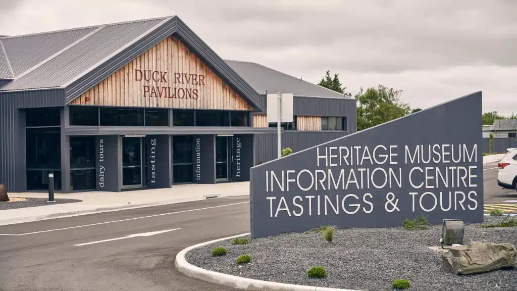
Smithton is situated on the Duck River, with approximately 3,500 residents it is the largest town and the administrative centre of Circular Head.
Smithton provides all the services you would expect in a busy rural centre. Major supermarket chains, boutique clothing and footwear stores, speciality shops and cafés abound. Smithton also has a medical centre with regular GP services and visiting specialists, a hospital, two full-service banks and ATM services.
Sporting aficionados are very well catered for. The Community Recreation Centre was built at a cost of more than $2 million and hosts many sporting groups. Smithton also boasts a state-of-the-art Astroturf hockey field catering for local, state and national competition.
Stanley
Established in the early 1800s, Stanley’s streetscape is lined with genteel, colonial buildings and fine cafés. Stanley is Circular Head’s premier tourism town and a walk down the main street is akin to walking through living history.
Stanley was the base for Van Diemen’s Land Company operations in the region. The VDL Co. itself began in 1825 by Royal Charter under King George IV, who granted the company rights to a huge tract of unsettled land in North West Tasmania.
Edward Curr, the first VDL Co. Chief Agent, arrived in Stanley in August 1826 and in October the same year, indentured convicts from Hobart, stud livestock, implements and craftsmen began arriving in the settlement. Over the following decades the VDL Co. surveyed, explored and developed North West Tasmania.
Looming over the historic town is the affectionately named ‘Nut’, the solidified lava lake of a long extinct volcano. visitors can walk up a steep, challenging path to the summit or take a leisurely chairlift chairlift ride. Either way, 360° views await, as far as the eye can see.
Marrawah
Tasmania’s “Surf City” Marrawah is where the West Coast Surf Classic is held every year, which attracts Australian and International surfers. Wildlife is plentiful around the township, and a sunset meeting with a Tasmanian Devil is a must. The main industry in this town is dairy and beef farming.
Arthur River
The township of Arthur River is located where the entrance of the tannin coloured river of the same name opens into the tumultuous Southern Ocean.
Although the coastal township developed decades ago as a shack site, the road to Arthur River was only sealed in 2003. In recent years a number of shack owners have turned their properties into Bed & Breakfast accommodation. Cruises on the Arthur River itself are available and White Bellied Sea Eagles are a common sight from the decks of the boats.
Arthur River is the last township before the Western Explorer Road (C249), a mostly unsealed road which snakes its way south past some of Tasmania’s most beautiful, remote landscapes to Corinna on the Pieman River, and onward to Tasmania’s West Coast.


